Quarry & Mineral Surveys
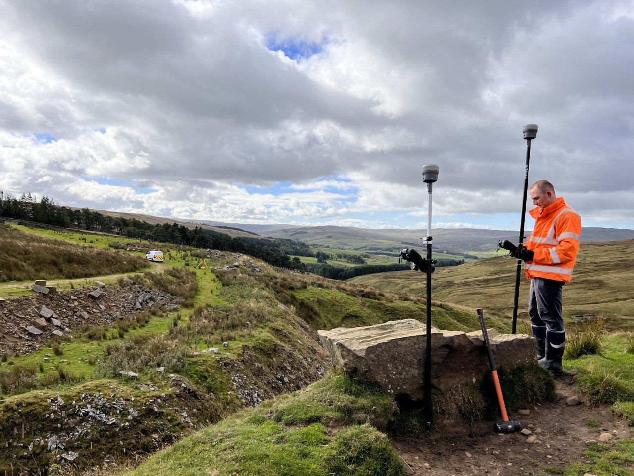
Project North Geomatics uses the latest technology to carry out our Quarry & Mineral surveys to the highest of standards, our surveyors have many years of experience working in some of the largest quarry and landfill sites in the UK which enables us to deliver detailed Topographic Survey plans to our clients. We can provide our services to help with stockpile volumetric survey calculations or full quarry updates using drones, 3d laser scanners and traditional survey equipment producing cost effective solutions across the UK.
Useful Quarry & Mineral Survey Information:
-
Quarry & Mineral surveys are an accurate representation of an area of interest, mapping and measuring all man made and natural features including site boundaries, buildings, haul roads, utility features, trees, walls, rivers and any relevant information surrounding the site whilst capturing an accurate land profile and all relevant site levels.
-
Whether it’s a small privately owned Quarry or a large scale commercial, a Quarry & Mineral survey is a vital part of the early stages of the planning phase of a quarry right though to the reinstatement phase. As an accurate representation of all site features and levels Quarry & Mineral surveys are used by planners and engineers, to design and plan for the best possible project outcome. These include: Optimising Site layout and access, planning for structure design and location, identifies any site constraints, site levels, underground utility planning and locations, identify any off-site constraints such as surrounding buildings, trees and highways.
-
All our Quarry & Mineral surveys are carried out by fully qualified and competent surveyors which all work subject to a rigorous quality control procedure. All surveys are carried out to RICS guidelines for that specific survey type as a standard, working alongside client specific specifications to meet all client needs and requirements.
The Quarry & Mineral survey information will be provided in detailed 2D or 3D AutoCAD drawings accompanied by digital PDF documents.


